A Brief History of Cartography
Cartography—the art and science of mapmaking—has a long and fascinating history. From ancient civilisations to the modern era, maps have been instrumental in shaping our understanding of the world, and many of the most important documents in human history are maps.
One of the earliest known world maps, the Babylonian World Map (6th century BCE), depicts Babylon at the centre of a symbolic, mythological universe. It was not until Claudius Ptolemy, in the 2nd century CE, that geography became a systematic science: his Geographia introduced coordinates of latitude and longitude that influenced European cartography for over a thousand years after its rediscovery during the Renaissance.
Medieval European cartography produced the remarkable Mappae Mundi—maps that combined geography with theology, placing Jerusalem at the centre of the known world and populating the margins with biblical figures, mythological creatures, and wonders of the ancient world. The Hereford Mappa Mundi (c.1300) is the largest surviving example and one of the most extraordinary documents of medieval thought.
The Age of Exploration transformed cartography irrevocably. The Cantino Planisphere (1502), smuggled out of Portugal to Italy, was one of the first maps to document the discoveries of the New World. Five years later, the Waldseemüller Map (1507) became the first document in history to use the name “America”—a single copy survives, now held at the Library of Congress.
The Golden Age of Cartography: Renaissance to Enlightenment
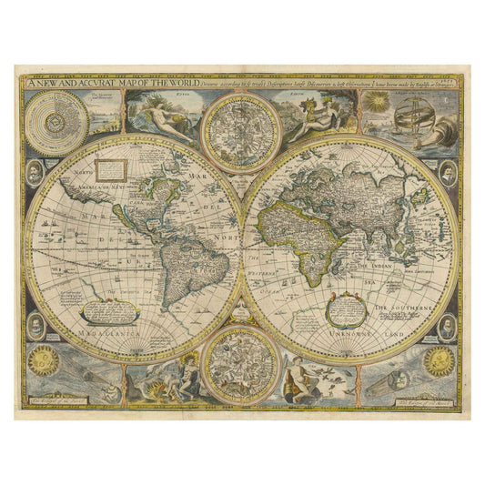
The 16th and 17th centuries represent the golden age of Western cartography. Gerardus Mercator's World Map (1569) introduced the cylindrical projection that still bears his name—a revolutionary tool for nautical navigation that, despite distorting sizes near the poles, allowed sailors to plot accurate compass courses across the globe for the first time.
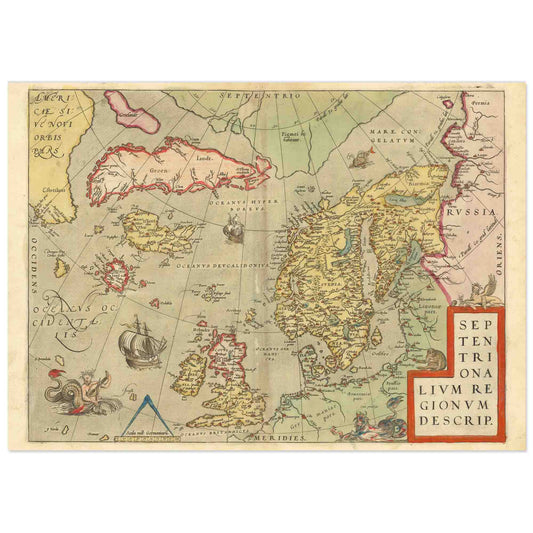
Abraham Ortelius' Theatrum Orbis Terrarum (1570) is widely considered the first modern atlas. His maps combined scientific rigour with extraordinary decorative ambition: ornate cartouches, sea monsters, allegorical figures, and the elaborate compass roses that became the signature aesthetic of Renaissance cartography.
Joan Blaeu's Atlas Maior (1662) took this ambition to its absolute limit—an atlas of eleven volumes, 600 maps, and over 3,000 pages, produced for the wealthiest patrons of Amsterdam's golden age. It remains one of the most beautiful books ever printed.
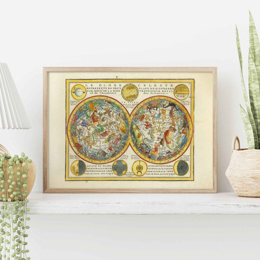
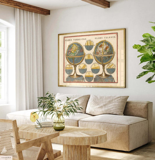
The Enlightenment brought a new emphasis on scientific accuracy over decoration, but cartographers continued to produce works of great visual power. Jacques Chiquet's celestial hemisphere maps, for instance, chart the constellations with the precision of an astronomer and the elegance of a painter.
Types of Historical Maps: A Collector's Guide
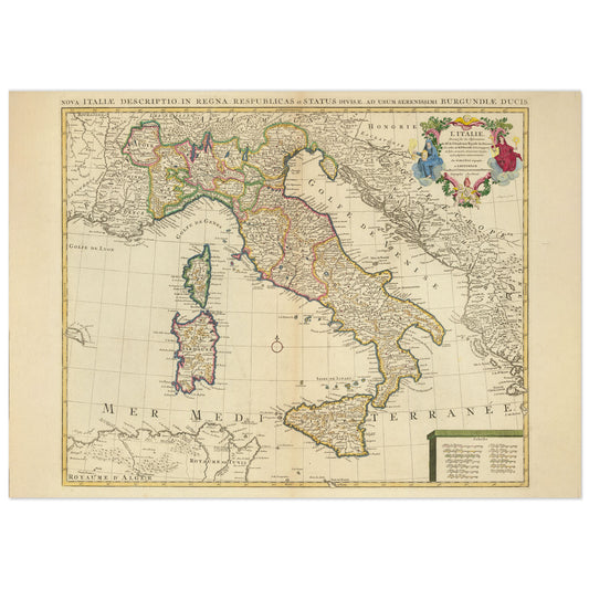
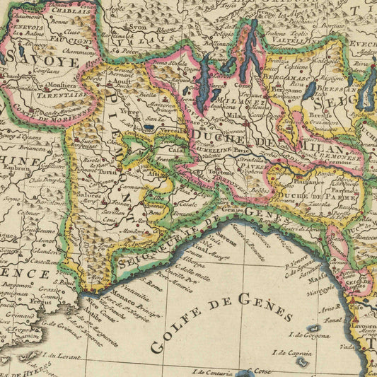
Historical maps fall into several broad traditions, each with its own aesthetic and technical character. Portolan charts, used by medieval navigators from the 13th to the 16th centuries, are defined by their dense networks of rhumb lines radiating from central points—tools for open-sea navigation, not artistic display. By contrast, the great Renaissance wall maps of Blaeu and Ortelius were designed to hang in palaces and council chambers, statements of power and knowledge as much as practical documents.
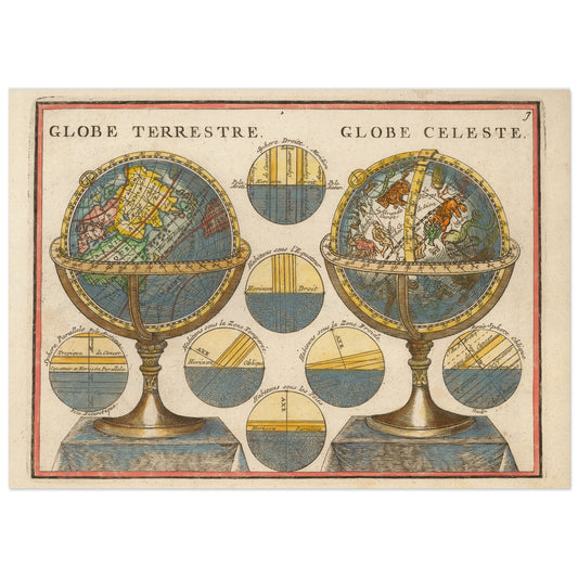
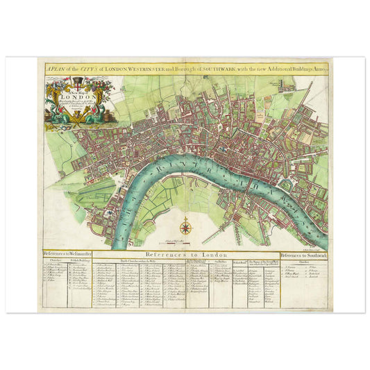
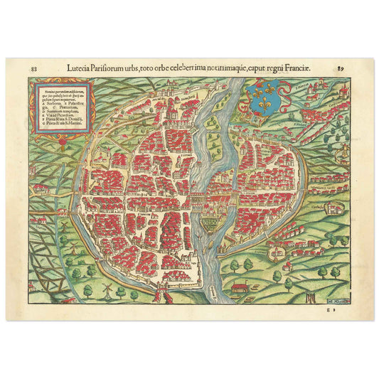
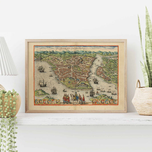
Celestial maps occupy a unique category: part astronomy, part mythology. The great celestial atlases of the 17th and 18th centuries chart the night sky through the lens of classical myth—constellations depicted as gods, heroes, and beasts in extraordinary engraved detail. City views, such as Braun and Hogenberg's monumental Civitates Orbis Terrarum (1572–1617), offer a bird's-eye perspective on the world's great cities at a moment of transformation.
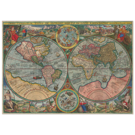
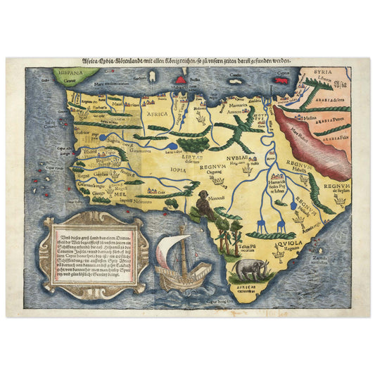
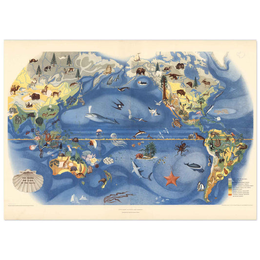
Propaganda maps—colonial-era documents that used colour, scale, and symbolism to assert territorial claims—represent perhaps the most politically charged category in historical cartography. And at the intersection of natural history and geography sit the great illustrated maps of the 17th and 18th centuries, where cartographers populated oceans with sea monsters, continents with exotic fauna, and margins with scenes from travel literature.
About Our Reproductions
At Wallango, every map in our collection has been selected for both its historical significance and its visual impact. We source ultra-high-definition scans of original documents held in the world's great public collections—the Rijksmuseum, the Bibliothèque nationale de France, the Library of Congress—and our digital restoration team works to faithfully reproduce the original colours, paper texture, and fine detail of each document.
All posters are printed with the giclée method on thick, archival, acid-free 250g/m² matte paper, certified FSC. This combination delivers exceptional detail, fade-resistant colours, and a quality that stands up to the closest inspection—whether the map is displayed in a living room, a library, or a professional space.
Decorating With Antique Maps
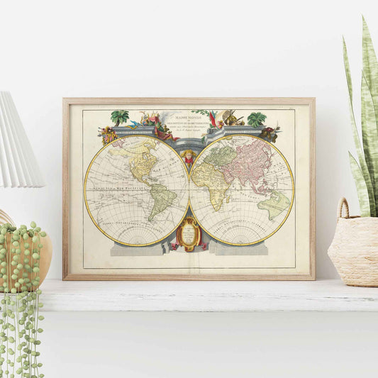
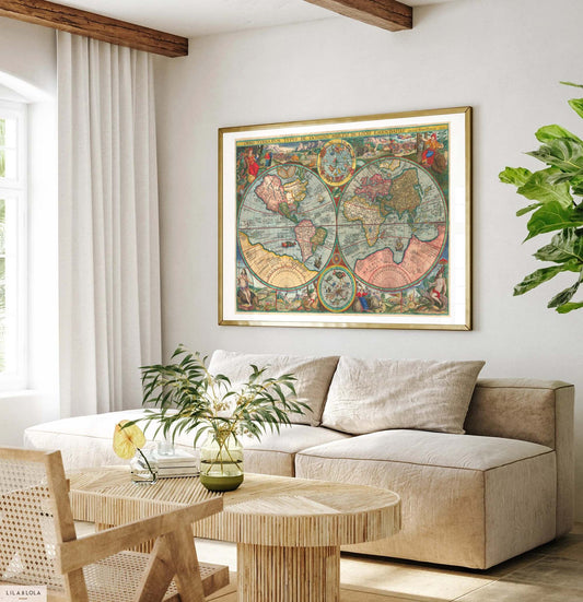
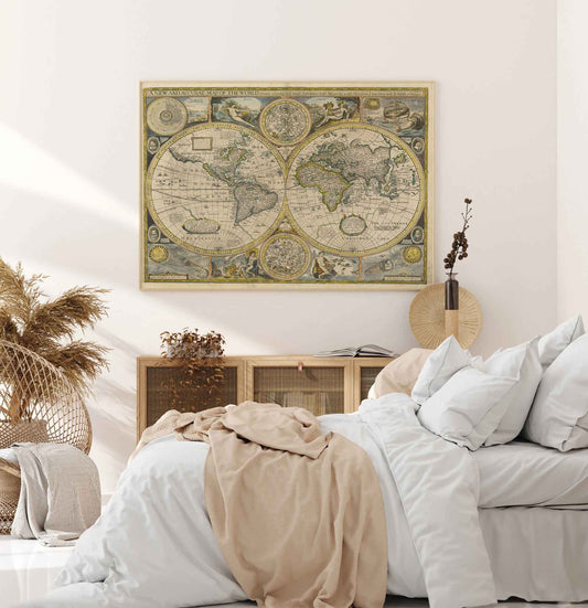
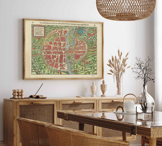
An antique map—whether an original or a museum-quality reproduction—is one of the most versatile decorative objects available. A large double-hemisphere world map commands attention as a centrepiece above a desk or fireplace. A collection of smaller city plans—London, Paris, Istanbul—works beautifully as a gallery wall. Celestial maps pair naturally with natural history prints and botanical illustrations for a cabinet-of-curiosities aesthetic.
The graphic language of historical cartography—compass roses, cartouches, sea creatures, elaborate borders—is immediately recognisable and universally appealing. Unlike purely decorative prints, antique maps carry genuine historical weight: every one is a document of how humanity understood and imagined its world at a specific moment in time.
Browse our top-selling old map posters:
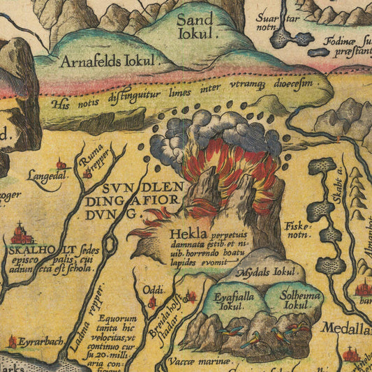
• Sea Monster Map of Iceland (Ortelius) →
• Celestial Hemispheres by Jacques Chiquet →
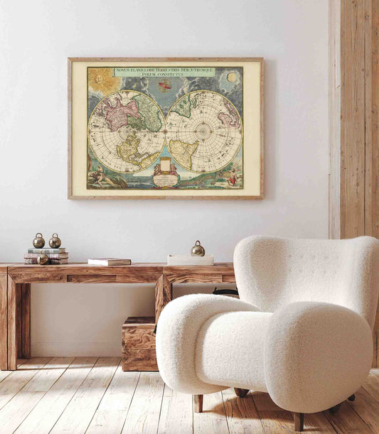
• Planiglobii Double Hemisphere World Map →
• Double Hemisphere by Santini →
• John Speed's Double Hemisphere World Map
FAQ: Old Maps & Antique Map Prints
What types of maps are available?
Our collection covers world maps and double-hemisphere projections, celestial and star maps, city plans and bird's-eye views, regional and continental maps, and nautical charts—spanning the 16th to the 19th centuries.
Where can I buy old map prints?
Antique map reproductions can be found in specialist online stores, at auction, or in antiquarian bookshops. At Wallango, we offer modern reproductions printed from ultra-high-definition scans at excellent value, on premium 250g archival paper with FSC certification.
How are the maps packaged?
All posters are shipped in rigid cardboard tubes to ensure they arrive in perfect condition.
Do you accept returns?
Yes—we accept returns within 14 days of receiving your order. Please contact our customer service to initiate a return.
→ Discover the full collection above—or contact us if you're looking for a specific map or cartographer.